I had the opportunity this past Monday to collaborate with my father on a series of maps. Of course, that’s just a great thing in itself, but what made it even more fun was that we were illustrating a section of a paper he wrote in 1992.

In it, he and some of his geography colleagues described some of the more common misunderstandings they encountered in their teaching experience. It made an impression on me then, and in recent years I would circle around to it every once in a while, thinking of making some maps to accompany it.

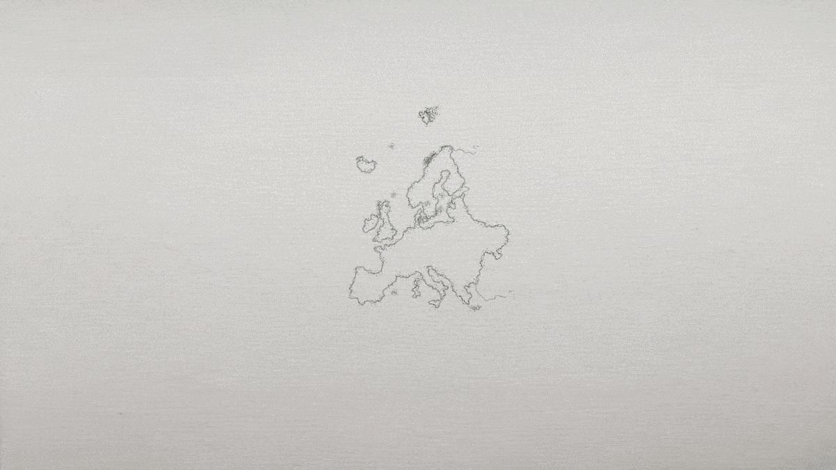
I spent some time with him a few days ago for his birthday and gave him the map that I’d painted. He spent the next day with me in the office and we made similar-looking maps to accompany an illustrated excerpt of his paper.
Lots of people probably get to work with their fathers. But this was a pretty unique experience for me. I relished his insights and was happy to be able to turn out maps to keep pace. We made them look like sketched maps which then transition into a globe as we walked through each of the three misconceptions.
You can read the story, with the map illustrations, here.

It was happy mapping. John
Loved this article. I aspire to be a good science storyteller with GIS and wildlife as my background. But with no computer science background, I find it difficult to bring out many stories. Any guidance?