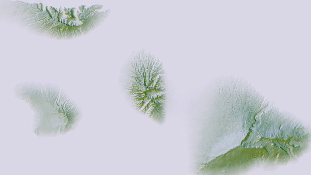
Are are some snapshots of a method using a handful of offset hillshade angles, each with a neighboring color wheel color. The result is a chromatic optical sense of surface elevation. Slightly different than a flattened single-band multidirectional method and way different than an aspect map.

If you are interested in how do to it (mega easy) you can check out this how-to.
So how many of these places do you recognize?


