A few years ago I made a couple of small simple maps that showed the locations of tweets in the New York City area that mention either “love” or “hate.” And another that shows “happy” or “sad.” It was a fun way to visualize social media terms as a proxy for the sentimental terrain of neighborhoods.
I was excited to be asked to include them in an exhibit at the Pratt (known to me as the art school Pam Beesly got into) gallery that focuses on ways of mapping the city. But they were pretty low resolution, and had to be re-built for large print. I ultimately tracked down the source data and re-created the maps and exported them for print.
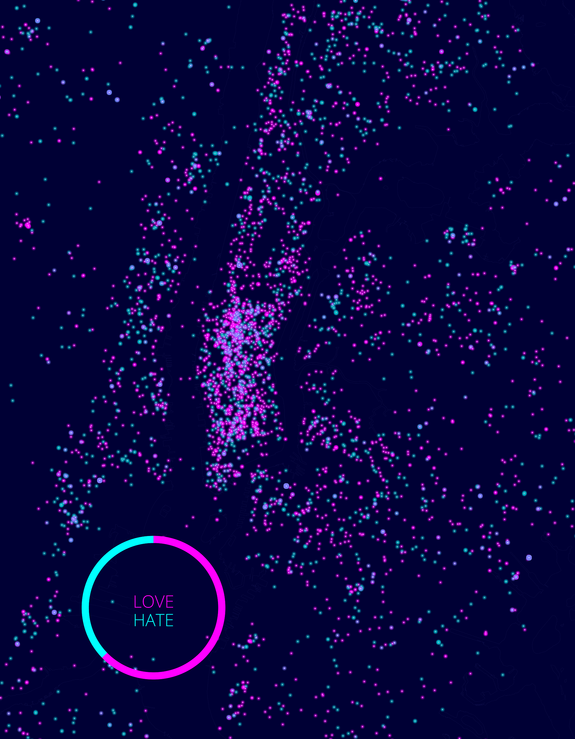

Here’s how they looked in realz life…
