I’ve been into hand drawing maps lately, to give as gifts. What a blast. I’ve found that the process is pretty cyclical, though as I use a GIS to prep for a hand drawn map, and then later was inspired by the results to create texture resources for GIS so I could make hand drawn maps digitally. In any case, if you are interested in the nerdy, sentimental story, you can check out the two-parter here:
Pt 1: Digital to Hand
Pt 2: Hand to Digital
Here are some images of using a digital reference to create a hand drawn map…


And here are some images where I use hand drawn texture resources to feed into a fully digital map…

Pencil stroke only:

Pencil with a pen stippling:

Pencil with watercolor:

Pencil, watercolor, and pen stippling all together:

Here are the texture images used for these maps. Take them. I implore you.
Hacky Mapping! John
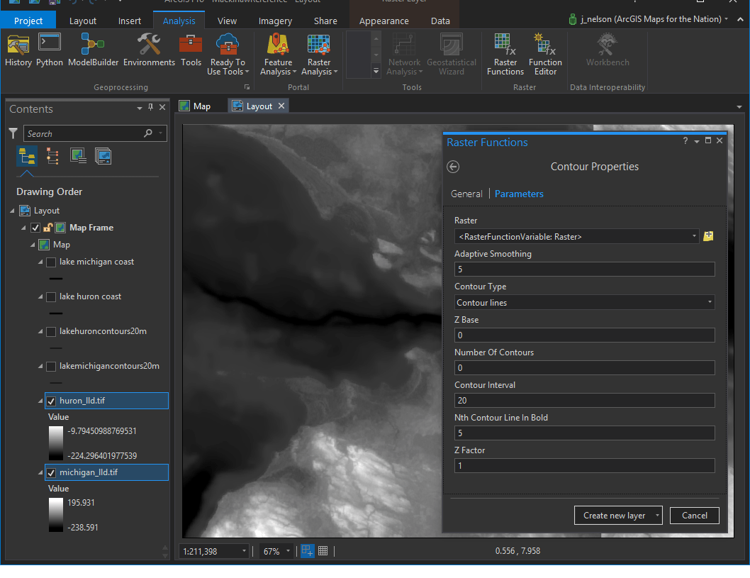
John – Did you convert your raster data into polylines for your contours?
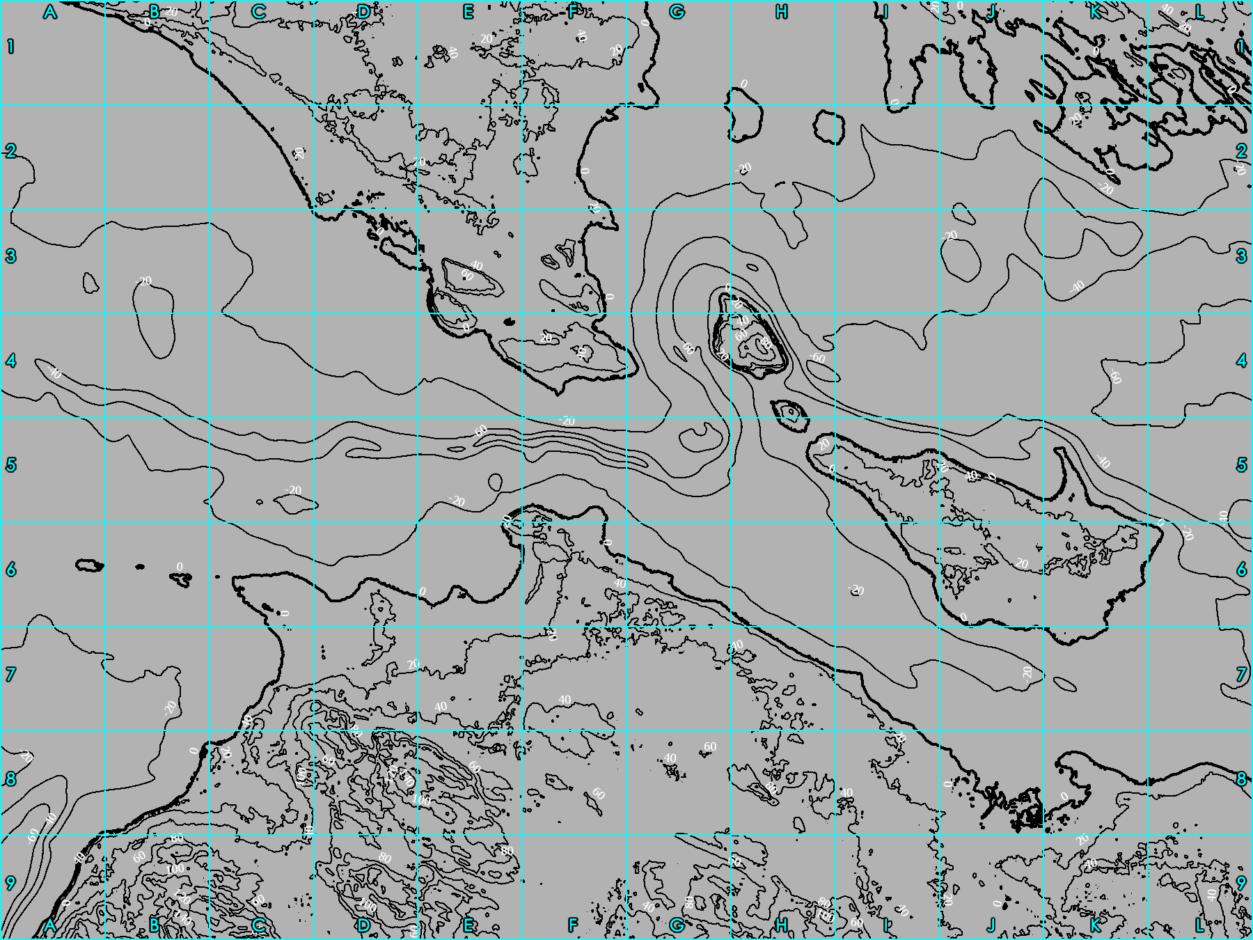
Hi Zand. Yes, In ArcGIS Pro, I used a tool called “Contours” to create a vector contour layer based from the digital elevation model image.
John thanks for the response! I should have been more specific with my questions. Did you use the Contours tool on the original DEM or “temporary” DEM the Raster Function Contour tool creates?
I started with a DEM image. I applied the Countours tool available in Spatial Analyst to the DEM, creating a new, vector, contour layer.
Actually, I don’t recall if I did that or if I just used the Raster Function to display contour bands. I’ve looked at too many contours and DEMs lately to know. Why do you ask?
I’ve had this idea about making a map coloring book for people as a gift and I am looking at your stuff for inspiration. It would be similar to what you did on your hand drawn map but I would just print it out and have them color it.
Cool! In that case either DEM/contour tool would work. Have fun!
Love looking through these maps! The ability to be artistic while still delivering information is part of what drew me into the GIS world! I need to try more of the hand painted/drawn work myself!
Love these maps! “Stole” the textures and made a gift for my grandparents’ 60th wedding anniversary of the homes they have lived in together. I wish I could attach a picture here…
Oh my goodness, I’d love to see it. Can you post it somewhere and share a link?
Hopefully this will work: https://photos.app.goo.gl/cvjO0UTANLeup1W62
Lovely!